Building a roadway is never an easy feat, let alone constructing an integrated continental highway system that spans multiple regions, cultures, and geographical barriers. Rome famously was not built in a day, and neither were the staggering 190,000 miles of roads that once connected nearly 3.5 million square miles of land across the sprawling expanse of the Roman Empire. Recent geographical and archaeological studies have successfully mapped this monumental network of roads, which once connected Europe to parts of the Middle East and Northern Africa. The project was designed to better understand the world’s most ambitious ancient travel route and put a famous cultural adage to the test: Do all roads truly lead to Rome?
According to the findings, the answer is a definitive no.
The study, published earlier in the week in the scientific journal Nature, successfully mapped out what the Roman road network likely looked like at the absolute peak of the empire’s power, a period generally recognized as spanning from the 2nd to the 4th centuries AD. Surprisingly, that immense network of major paved highways and smaller countryside paths did not actually centralize in the city of Rome itself. Tom Brughmans, a classical archaeologist at Aarhus University in Denmark and one of the lead researchers on the mapping project, shared the unexpected revelation regarding the layout of the Italian peninsula.
When the research team considered all movement and transit within the entire Italian peninsula, they were genuinely shocked to discover that the most central and heavily traveled road network actually followed the opposite Adriatic coastline, bypassing Rome entirely. Instead of converging on the Italian capital, the primary commercial and strategic arteries of the empire ultimately met in Constantinople, known today as Istanbul, Turkey. During antiquity, that city occupied an extraordinarily advantageous position as a central hub, perfectly situated to border both Europe and Asia along the crucial Bosporus Strait, where ancient travelers and traders routinely utilized ferries to traverse swiftly between the two continents.
The long, straight roads of the Roman Empire
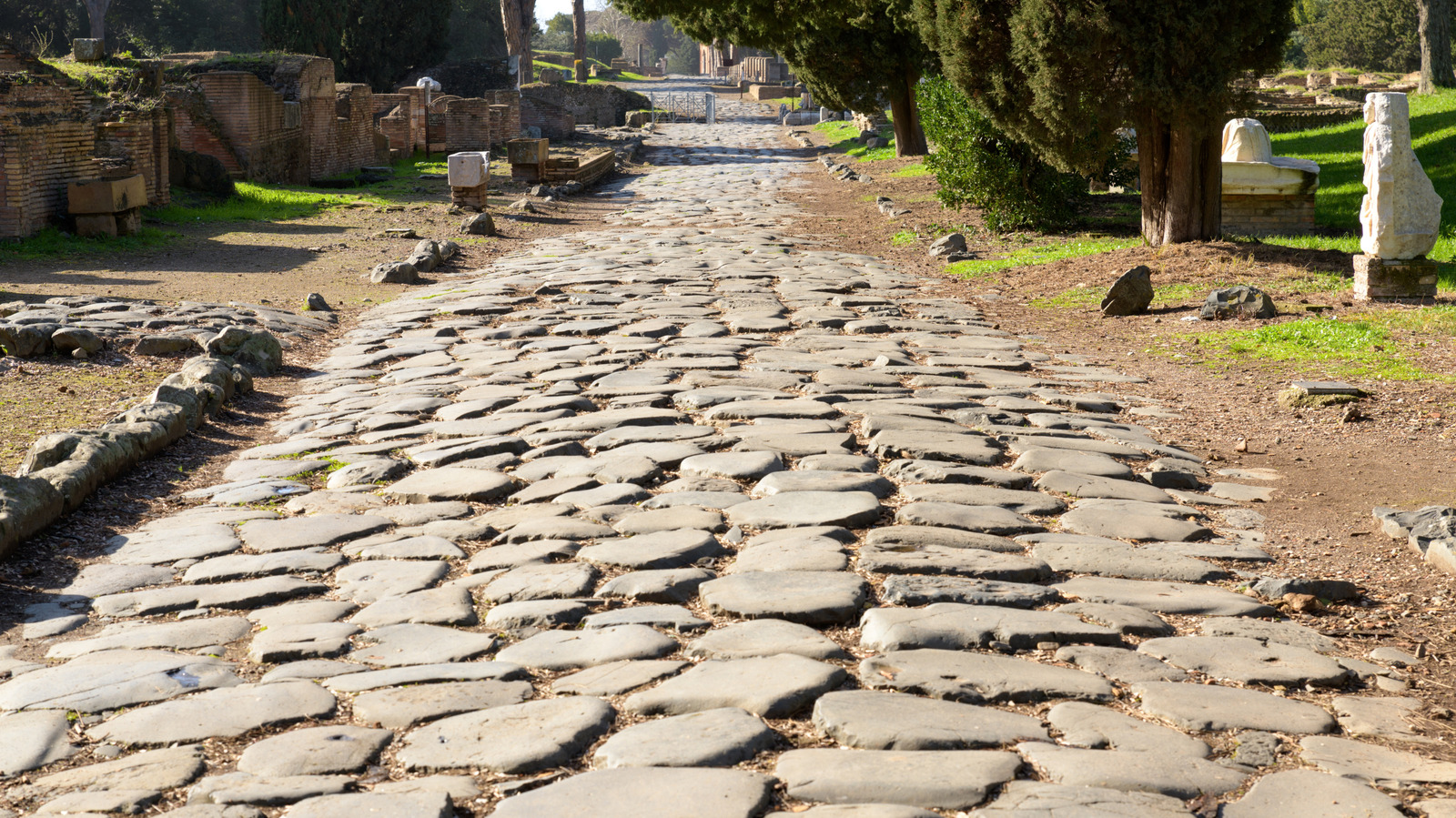
Engineering a road network of this magnitude more than two thousand years ago required overcoming immense geographical and technological hurdles. Roman engineers of the era were largely constrained to designing straight roads due to the limitations of their surveying equipment. Among their primary instruments was the groma, an ancient tool that excelled at establishing straight lines and right angles, but proved utterly ineffective at peering around curves or navigating complex terrain.
The physical lay of the land also played a massive role in dictating where and how roads could be placed. The ancient Romans lacked the heavy machinery required to carve through solid rock formations, meaning they simply could not blast roads straight through towering mountain ranges. When natural obstacles such as steep mountains or deep valleys blocked their path, the roads had to adapt, utilizing switchback or zigzag patterns. By connecting a series of straight road segments together, engineers managed to ascend and descend treacherous slopes without destroying the landscape. Furthermore, they intentionally avoided excessively steep inclines to make the routes safer and more manageable for pedestrians, pack animals, and heavy carts pulled by livestock.
Constructing a durable road two millennia ago relied on methodologies that are surprisingly foundational to modern civil engineering, even if the materials and processes were far more rudimentary. Builders typically relied on layers of lime, cement, gravel, crushed stone, and fitted paving stones to create a solid, enduring foundation. Historical records indicate that a vast majority of these ancient routes remained in active use long after the collapse of the Western Roman Empire in 476 AD and the eventual fall of the Byzantine Empire in 1453 AD. For centuries, they served as the absolute backbone of European travel, trade, and political communication until the widespread development of the modern railroad system in the 1800s and the expansion of national highway systems in the 20th century. In fact, many contemporary highways in Europe today follow the exact same geographical alignments as these ancient Roman roadways, with some segments remaining remarkably intact beneath or alongside modern infrastructure.
A first in moving goods and people by land
While the Romans are universally credited with unifying and expanding this vast network, researchers have noted that portions of these road systems had already been established by local populations long before the Roman legions arrived to connect them, particularly in regions like ancient Britain and Egypt. However, as the empire aggressively expanded its borders, its logistical network grew in tandem. Some of the more heavily traveled thoroughways even featured early precursors to the standard roadside amenities drivers rely on today, including official mile markers, distance signs, and designated rest stops.
The Romans manufactured and installed heavy stone milestones that displayed precise distances to the nearest urban centers, inscribed clearly in Latin. Along harsh desert routes, they strategically constructed small defensive forts and waystations where weary travelers could find shelter from unforgiving sandstorms, rest their animals, and stock up on essential supplies.
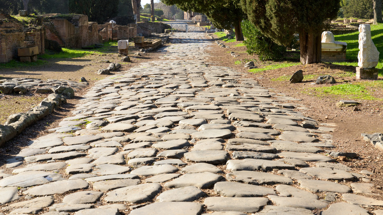
These sophisticated ancient roadways were vital for maintaining the economic and political cohesion of the entire empire, allowing the state to move people, military units, and commercial goods with unprecedented speed. This critical infrastructure ensured that a vast and diverse region became tightly integrated, establishing a continent-sized platform that facilitated the movement of human populations, livestock, biological pathogens, manufactured goods, and cultural ideas.
The historical impact of these roads was multifaceted. Roman legions marched swiftly over the paved stones to respond to sudden frontier threats, relieve beleaguered garrisons, and colonize newly acquired territories. Radical new cultural movements and philosophies, including early Christianity, spread across land and sea along these very paths. Yet, despite their military and administrative importance, the roads were most frequently utilized for mundane, everyday tasks. Local citizens relied on them for routine commutes between rural farms and agricultural fields, or to travel to nearby markets to sell their daily produce and livestock.
While researchers now possess a remarkably detailed map of the ancient network and a clearer understanding of construction techniques, significant historical questions remain unanswered. Historians continue to debate how the Romans managed to conceptualize and map out such a massive infrastructural project in the first place, or whether the empire even possessed the cartographic capabilities required to plan something so detailed on a continental scale.
Current scholarly consensus suggests that the planning and maintenance of these roadways largely occurred at a decentralized, provincial level, with local authorities simply connecting their regional infrastructure to the broader imperial grid. Future archaeological and historical research may eventually shed light on how ancient engineers mastered such an extraordinary feat of logistical coordination without the aid of modern technology. Without satellites, digital mapping, or GPS, ancient surveyors relied primarily on the night sky, their own wits, and eventually, the reassuring stone milestones guiding their way home.