Slate Auto, the burgeoning electric vehicle manufacturer known for its stripped-down, affordable battery-powered pickup truck priced at an accessible base of $26,400, has always centered its brand identity around unadulterated simplicity. In an automotive landscape increasingly dominated by sprawling digital displays, cloud-connected services, over-the-air updates, and complex infotainment systems, Slate has purposefully zagged. The company champions simple truck architecture, a straightforward purchasing process, minimal manufacturing overhead, and uncomplicated accessories.
However, this philosophy inevitably raises a fundamental question for modern drivers: what happens when consumers demand functionality that traditionally requires a complex digital footprint? Specifically, what happens when buyers want routing and navigation—technologies that have come to rely entirely on satellite connections, dynamic digital maps, high-resolution touchscreens, and millions of lines of software code?
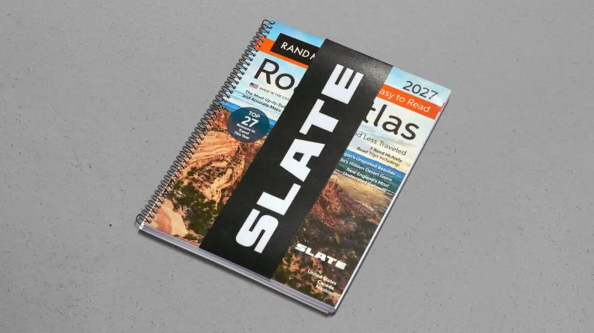
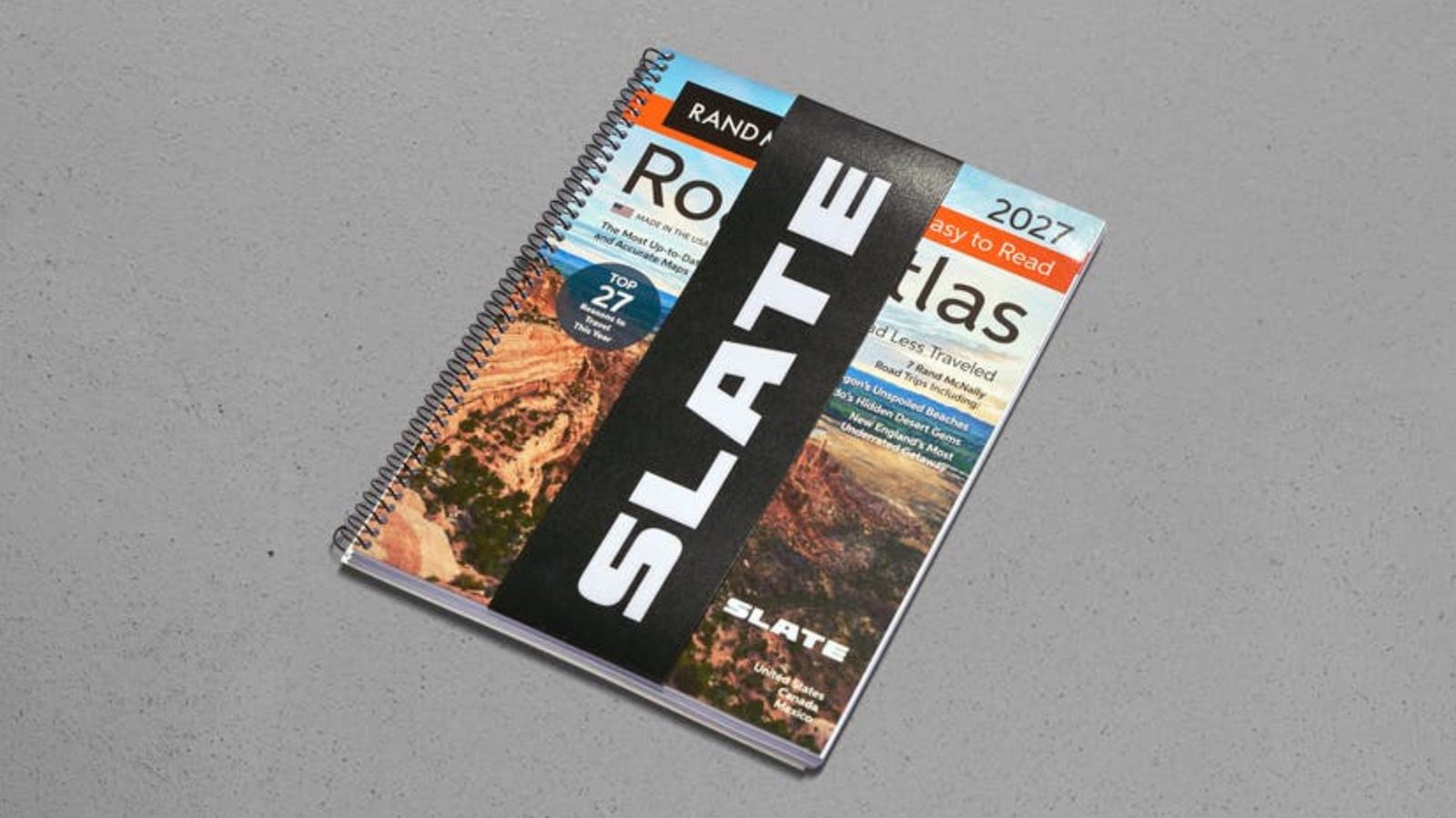
Rather than capitulating to the modern expectation of a glowing digital display mounted to the dashboard, Slate has tackled the challenge using a thoroughly traditional approach. The automaker has partnered with legacy mapmaker Rand McNally to brand and sell a standard paper road atlas directly through its online merchandise store. Tongue firmly in cheek, the company is marketing this physical book of maps under the moniker "Screenless GPS."
Priced at $30, the item quickly generated attention online and was marked as sold out on the company’s official web store. According to the product description provided by Slate, the offering is presented as the original navigation system requiring no cellular signal, satellite lock, or software updates. The description highlights that the product is spiral-bound, features large print, and is prepared to guide drivers wherever their Slate electric trucks might take them, boasting coverage across the United States, Canada, and Mexico as part of a limited edition run.
A closer inspection of the product reveals that it is specifically the 2027 Rand McNally EasyFinder Road Atlas, a publication that also includes seven curated Rand McNally road trips designed to inspire traditional route-planning and cross-country exploration.
For younger drivers or those who came of age entirely within the smartphone era, Rand McNally is a historic institution best known for producing massive books of folded and bound paper maps known simply as road atlases. For generations of motorists, these heavy paper volumes were as essential to an automobile’s interior as a spare tire or a set of jumper cables. They were frequently wedged tightly between the driver’s seat and the center console of family sedans, station wagons, and pickup trucks, serving as both a utilitarian tool for navigation and an impromptu source of entertainment during long, monotonous stretches of highway driving.
Many drivers recall thumbing through the colorful, intricate pages of a road atlas out of sheer boredom during childhood road trips—an activity often subtly encouraged by parents to ensure the next generation learned the fundamentals of cartography, spatial awareness, and map-reading before they ever sat behind the steering wheel themselves. It is a specific set of skills that the average Slate customer is presumed to possess. The demographic drawn to an affordable, no-frills, minimalist electric truck is likely to appreciate an equally simple, distraction-free method of navigating America’s highways and backroads.
Can Slate make maps cool?
The introduction of the branded atlas arrives at a curious cultural moment. Paper maps and analog navigation tools have experienced an unexpected renaissance in recent years as a broader segment of the population grows increasingly fatigued by the relentless march of screen-based technology and mounting daily screen time.
Across various outdoor and adventure sectors, enthusiasts are actively seeking ways to disconnect. For instance, Backcountry Discovery Routes has collaborated with specialized cartographers at Butler Maps for years to produce detailed paper maps of its rugged motorcycle trails. These physical maps cater specifically to off-road riders who are looking to pursue a completely screen-free experience while tackling remote backcountry trails. Slate appears to be tapping into this exact same cultural current, hoping to translate the enthusiasm for analog adventure into the everyday highway commuting and road-tripping market through its Rand McNally partnership.
Yet, the reception to Slate’s marketing campaign walks a fine line between clever nostalgia and tongue-in-cheek humor. Promotional material released by the company, including social media posts highlighting features like an "analog pinch to zoom," leans heavily into self-aware irony. While the joke resonates with certain automotive enthusiasts, it also flirts with the familiar, weary tropes of modern internet humor regarding technology fatigue.
For the vast majority of everyday motorists, a standard smartphone secured to a windshield mount will inevitably provide a vastly superior, dynamic navigation solution compared to a physical Rand McNally atlas shoved awkwardly next to a center console. Real-time traffic rerouting, accident alerts, construction updates, and turn-by-turn voice prompts are luxuries that paper maps simply cannot replicate.
Despite these practical limitations, Slate’s target market consists of buyers who actively lament the loss of simpler, mechanical-era automobiles and yearn for a return to straightforward vehicle design. For these consumers, thumbing through the bent, worn, and dog-eared pages of a physical road atlas may deliver precisely the tactile nostalgia they are seeking in a thoroughly modern, all-electric truck. After all, it is safe to assume that many of these buyers spent their formative driving years with a similar atlas resting close at hand in the cab of an older, combustion-powered pickup truck.